If you’ve ever explored a new waterway, you’ve probably had the same thought:
“I hope I’m not missing something.”
Maybe it’s a shallow flat that’s harder to spot than it looks. Maybe it’s a no-wake zone you didn’t notice until you were already in it. Maybe it’s a stretch of seagrass that looks like the perfect place to anchor.
Most boaters aren’t trying to damage sensitive habitats or break local boating rules. They simply don’t know what’s there.
For Katie Baltzer, helping solve that problem is part of her job.
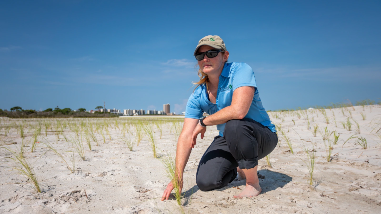
As Coastal Projects Manager for The Nature Conservancy (TNC) in Alabama, Katie works to protect and restore coastal habitats while making sure people can continue enjoying them for generations to come. Her work includes restoring marshes, protecting seagrass beds, and working alongside communities on projects that improve both coastal ecosystems and public safety.
It’s given her a unique perspective on the waterways boaters use every day.
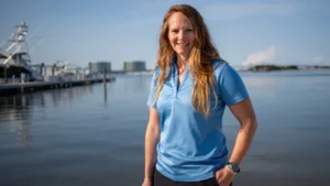
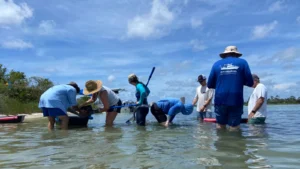
Katie Baltzer, Coastal Projects Manager with The Nature Conservancy,
What Katie Sees That Most Boaters Don’t
When Katie looks across the water, she doesn’t just see open space.
She sees seagrass beds that provide habitat for fish, sea turtles, and manatees. She sees restored shorelines that help protect coastal communities. She sees nesting areas where slowing down can make a real difference for wildlife.
The challenge is that many of these places aren’t obvious to someone visiting the area for the first time.
“Seagrasses are particularly prone to damage from boats operating in shallow waters,” Katie explains. “That’s not only harmful to the habitat and the animals that rely on it, but it’s also hazardous for boat operators, who often get stuck in shallow water.”
It’s a good reminder that conservation and boating safety often go hand in hand.
The same shallow areas that can damage sensitive habitats can also leave a boat stranded. Knowing where those areas are before you arrive benefits everyone on the water.
Why TNC Chose Argo
As Katie and her team developed the Don’t Rock the Roost safe boating campaign around Alabama’s Perdido Islands, they faced an important question.
How do you get this information into the hands of the people who need it most?
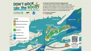
The campaign highlights no-wake zones, no-motor zones, restoration projects, seagrass beds, and other sensitive habitats. The goal is simple: help boaters make informed decisions before they accidentally damage fragile ecosystems or put themselves in unsafe situations.
Initially, the team explored developing its own safe boating app.
Then they discovered Argo.
“We discovered Argo while we were developing a safe boating app for the Perdido Islands,” Katie says. “Argo already had many of the features we were hoping to build.”
Rather than creating another platform that boaters would have to download and learn, TNC saw an opportunity to bring that information into an app people were already using.
Today, Argo combines NOAA charts, route planning, weather, marina information, community insights, and trusted conservation data in one place. Instead of switching between multiple websites and apps before every trip, boaters can access the information they need to better understand the waterways they’re exploring.
Want to see what this looks like? Explore the Perdido Islands directly in Argo’s web map to view the area and the conservation information Katie discusses throughout this article.
For Katie, that’s what makes the partnership so exciting.
“I’m most excited about the potential for this partnership to expand well beyond coastal Alabama,” she says. “The Nature Conservancy is doing amazing work throughout the country, and linking our conservation priorities with Argo’s platform will reach audiences more effectively.”
Four Things Katie Wants Every Boater to Know
After years of working on coastal restoration projects, Katie’s advice is surprisingly simple.
If you see seagrass, don’t anchor there.
Pay attention to posted no-wake and no-motor zones, especially in unfamiliar waterways.
Take a few minutes before your trip to understand local conditions, restoration projects, and any seasonal restrictions that may be in place.
Most importantly, slow down.
Not only will you have more time to spot changing conditions and navigate safely, but you’ll also have a better chance of appreciating the wildlife and natural beauty that make these places worth protecting in the first place.
Better Information Makes Better Boaters
At its core, the partnership between Argo and The Nature Conservancy isn’t just about conservation.
It’s about giving boaters better information.
When you know where sensitive habitats are, where restoration work is happening, and what local conditions to expect, you’re able to make better decisions on the water. Those decisions protect fragile ecosystems, but they also make boating safer and more enjoyable.
Whether you’re planning a weekend cruise or exploring somewhere completely new, Argo helps bring together the navigation tools, local knowledge, and conservation information you need before you leave the dock.
Because the more you know about the water beneath your boat, the better every day on the water can be.
Continue Exploring
Interested in learning more about the waterways Katie mentioned?
- Navigating the Sensitive Waters of Perdido Bay – Learn about the habitats, wildlife, and restoration efforts that make this area so special, along with tips for boating responsibly.
- Download Argo to see navigation tools, local insights, and conservation information before your next trip.
- Explore Perdido Islands in Argo – Open the area Katie discusses and see the navigation map and conservation information for yourself.
Photo Credits: Katie Baltzer, Coastal Projects Manager with The Nature Conservancy