May is when many seasonal facilities in the New York area open, and many boaters, including those who are doing the Great Loop, are arriving in the area from points south to make their way up the Hudson for the opening of the NYS Canals, or to make their way through the East River to Long Island Sound. Every year at this time, I post in various forums the following information on navigating NY Harbor, which, for many pleasure boaters, will be the busiest harbor they’ve ever seen. The harbor can be an intimidating place, and I hope having this information will take just a little bit of the stress out.
Radios
Once you pass the tip of Sandy Hook, you will be in the New York Vessel Traffic Service (VTS) area. At least a half mile before this, you should switch your main VHF radio to channel 13. To maintain your required watch on 16, use another radio, such as a handheld. If you only have one radio, use the dual watch function. The reason is simple: in the VTS area, commercial traffic generally does not monitor 16 (they are not required to) and uses 13 for hailing. You need to be listening here, or you will miss it, and you also need to use this channel to reach anyone else. On the Hudson, the VTS area extends north to the Holland Tunnel ventilators. If you hear someone talking about the “North River,” they mean the Hudson. On the East River, the VTS area extends to the Throgs Neck Bridge.
Navigation
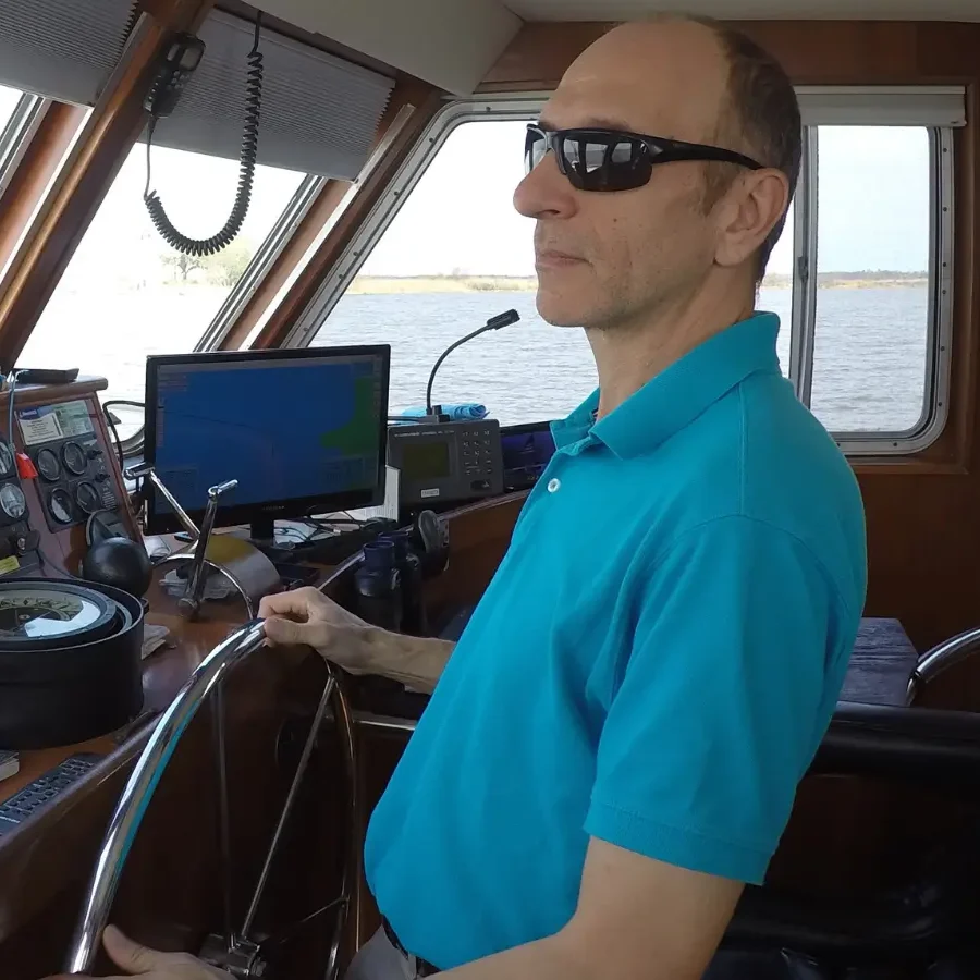
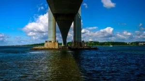
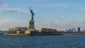
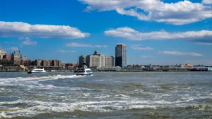
You will cross two major ship channels, the Sandy Hook Channel and the Ambrose Channel. They are marked on your charts. Cross these as close to perpendicular as possible. You should make your entire run to The Narrows outside of the ship channel; there is plenty of depth outside the channel. Once at The Narrows, where you pass under the Verrazzano-Narrows bridge (only the bridge bears Verrazzano’s name, not the strait), you will be in the chaotic mix of traffic all the way until well past The Battery (the lower tip of Manhattan). It’s tempting to sight-see and take photos; the Financial District and the Statue of Liberty are awe-inspiring. But by the same token, this is the portion of the trip that requires the most attention to the safe navigation of the boat. All hands should be on the bridge and all eyes on the water and the instruments. Spotting the traffic and matching it up to what needs attention and evasive action can be all-consuming. If you can, try to avoid arriving on a weekend or a holiday, where you will have tons of pleasure boat traffic, including stand-on sailing vessels, to contend with, along with the unavoidable commercial traffic. By all means, take photos, but don’t let it distract you from navigation. Do not hesitate to use the radio. The pilots, tug skippers, and ferry captains would all rather hear from you than try to figure out what it is you are doing. If there is any room for doubt, I like to make Sécurité calls before crossing the ship channels or making turns.
Sea conditions
Secure the boat for heavy seas before arriving at The Narrows. It can be flat calm out on the Atlantic Ocean, but you can be bouncing over steep four-footers in the harbor. These are the wakes from the numerous high-speed ferries that crisscross the harbor in all directions. Anything not latched closed or strapped down can become a liability, just as you need all your attention on traffic.
Photos
The Statue is very photogenic, and everyone, it seems, wants a picture of their boat in front of it. I know I can’t dissuade you from doing this, but remember you are in a busy commercial port and it’s difficult to do this safely and within the Rules. If you must do it, make it snappy and keep moving. Take a wider-angle shot and crop it down later to the parts you want. You’ll need a buddy boat; drones are nearly impossible to fly legally in the NY Harbor.
Anchoring
It is technically illegal to anchor anywhere in the New York Harbor that is not a federally designated anchorage. Most of those have numerous rules that must be followed. Several popular “anchorages,” shown on Active Captain (displayed on Argo and other apps) and Waterway Guide, are thus not really permissible, including “behind the Statue.” Use these at your own risk. Generally, no one has been hassled, but you will have no recourse if you get asked to move. Avoid the charted cable areas, and mind the security zones — those are aggressively enforced. BTW, the CG patrols NY harbor with machine guns mounted at all times; it’s not a sign of anything nefarious going on.
Current
Current in the NY harbor can be wicked, especially if you transit any of the East River. Pay attention to your current tables; a ton of current behind you can be just as problematic as against you in some cases. I like to have a fair tide from outside the harbor all the way to upper Manhattan or to Long Island Sound. On the Hudson, if you time your stops right, you can follow the current all the way to Troy.
Have a great cruise, and enjoy all that NYC has to offer. But above all, stay safe.