It starts out as one of those beautiful cruising days. The water is relatively calm, the sun is shining, and the forecast looks promising. We’ve settled into the rhythm of the day, enjoying the ride toward our planned destination. Then, almost without warning, the sky begins to change. Dark clouds build on the horizon, the wind picks up, and what looked like a perfect day underway starts taking a different turn. A squall is developing, and suddenly that beautiful destination doesn’t look quite so appealing.
This is cruising. Conditions change, and sometimes the best decision is to change plans right along with them. Rather than pushing on and making everyone aboard uncomfortable, we start looking for a better option. Somewhere closer, more protected, and better suited to what Mother Nature has in mind.
Having a navigation app available on our phones, tablets, and laptops makes those changes much easier to manage. Instead of abandoning the original plan and starting from scratch, we can quickly explore alternatives, compare routes, and find somewhere better suited to the conditions.
Start With a Destination, Not a Deadline
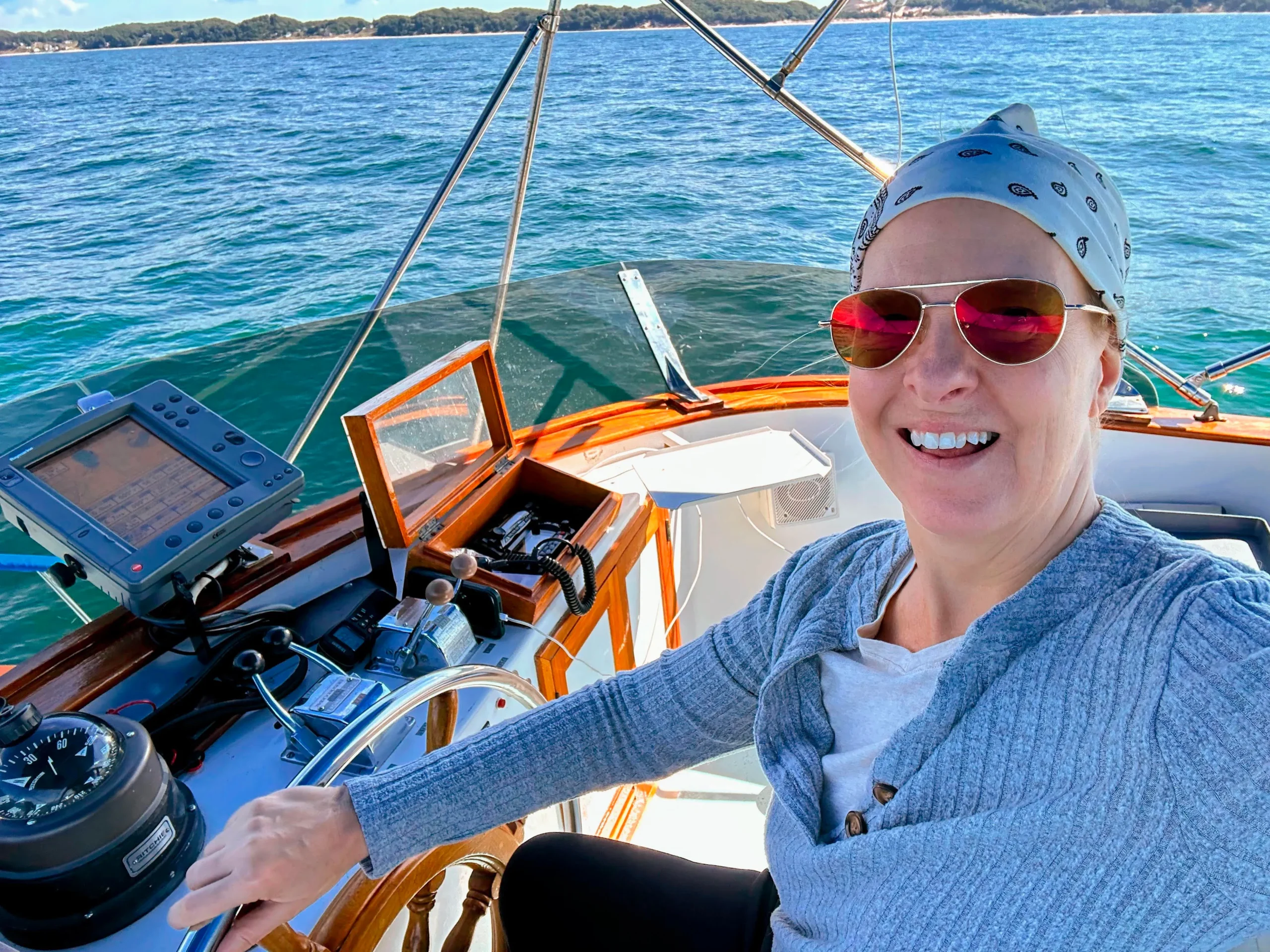
We love long adventures aboard our motor yacht, Stinkpot, a DeFever 44 equipped with stabilizers. She is a substantial, heavy displacement cruiser, but even a boat of her size has its limits when conditions get sporty—and comfort matters. We cruise because we enjoy the experience, not because we have to reach a particular destination at all costs.
When planning a day underway, I typically start by building an Argo route to our preferred destination. That gives me a projected arrival time based on our anticipated speed and helps establish a realistic goal for the day. Personally, I prefer to arrive before sunset whenever possible. Night navigation adds another layer of intensity, particularly when watching for floating logs, submerged hazards, and crab pots. Even a powerful spotlight can illuminate only a limited area, and concentrating its beam on one spot can make it harder to see what is happening elsewhere. Plus there are those inevitable moments when the light reflects back and your night vision is shot for a surprisingly long time!
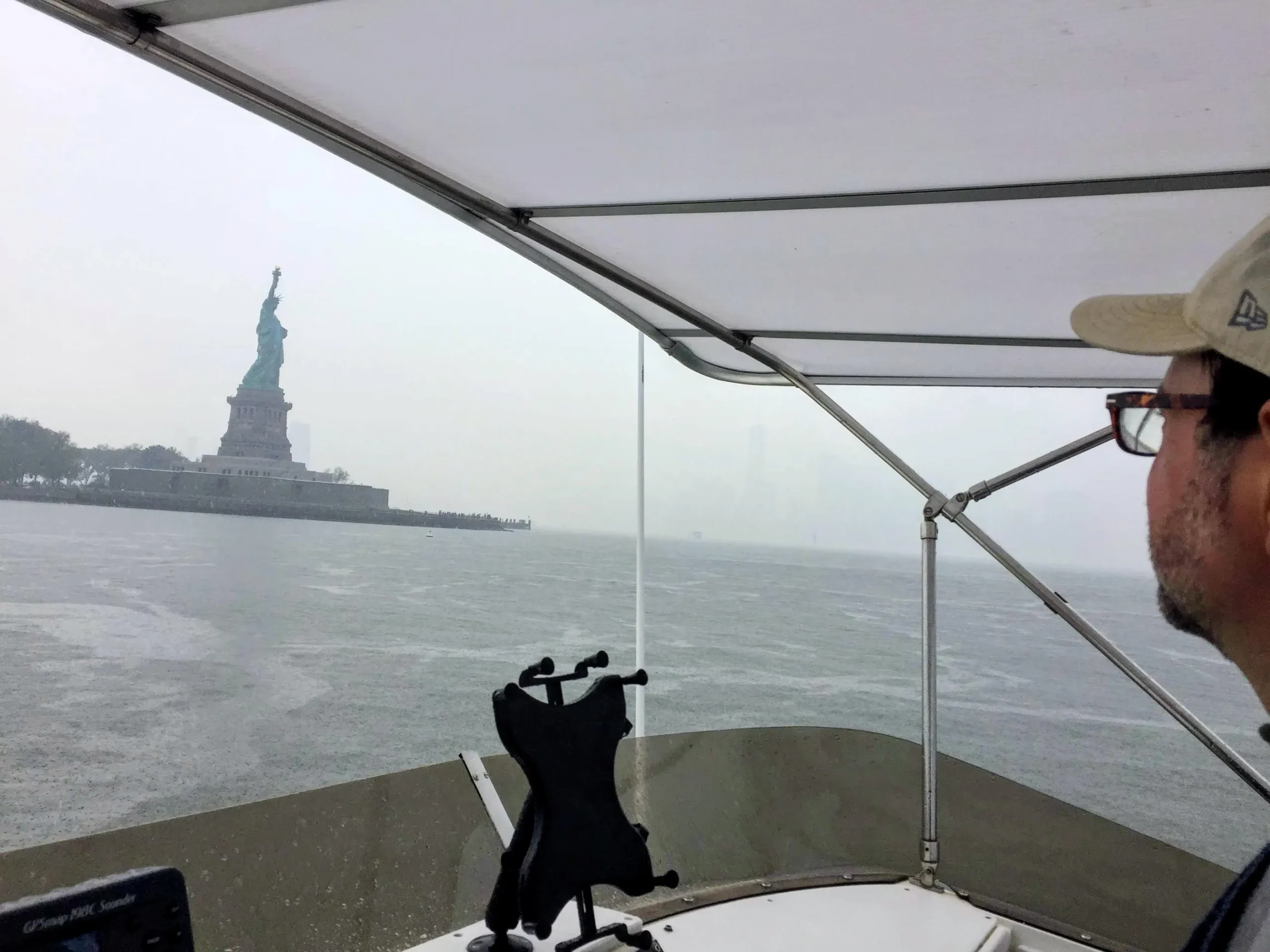
At any rate, if Argo shows us arriving comfortably before sunset, that destination looks promising. But of course, it is only the starting point.Gray, rainy view of the Statue of Liberty from under a boat’s bimini top as the captain looks out over choppy water.
Keep an Eye on the Bigger Picture
Once we are underway, I like to explore other layers of information available in Argo, particularly current and weather. On a heavy displacement motor yacht, our big diesel engines largely dictate the speeds and RPM ranges that make sense for our operation and fuel efficiency. If we encounter a substantial current on the nose, our speed over the ground can drop, pushing our projected arrival time later into the day.
That is useful information. A destination that looked perfect during morning planning might not be the best choice several hours later.
While Captain Dave handles navigation, I enjoy opening Argo on my Mac laptop in the pilothouse and exploring alternatives. I can independently build routes to several potential destinations, compare the options, and identify a closer stopping point without interfering with the Captain’s navigation screen. And let’s face it. The moment you spend your hard-earned money on a marine multifunction display (MFD), its hardware is already a fraction of the capability of a modern smartphone. Add in the uncertainty of chart updates and the learning curve required to build a reliable route, and traditional marine electronics can feel surprisingly limiting.
This is one of the things I appreciate most about having a navigation app available on multiple devices. We can each work with the same planning tool while approaching the day’s decisions from our own perspective.
Find the Shelter, Not Just the Shortest Route
For us, choosing an alternative destination is about more than finding somewhere closer. We want somewhere protected, comfortable, and appropriate for the conditions we expect to encounter.
Argo’s wind particle visualization is particularly helpful here. Rather than simply looking at wind numbers, I can see the wind’s direction and movement displayed directly on the map in relation to potential anchorages. Even better, I can move the forecast forward in time to see how the wind is expected to behave over the next several hours.
An anchorage that looks appealing right now may be less attractive later if the wind clocks around.
I find this visual approach especially useful because I do not always instinctively know which direction is east or west when looking at a chart. Seeing the wind particles flow across the map and over a potential destination makes the information much easier for me to interpret. Having a robust tool like this in my toolbox helps make up for my personal shortcomings!
It allows me to evaluate the bigger picture: not just where we can go along with the timing, but where we are likely to be comfortable once we get there.
The Pivot Can Happen at Any Time
Some days, we leave a protected anchorage simply to see for ourselves what the conditions are like beyond its shelter. Sometimes everything looks promising, and we continue toward our original destination. Other times, the conditions are simply too sporty to make the day enjoyable.
That is when having Argo on my own device really pays off. While the Captain assesses the conditions and decides whether to turn around, I can already be exploring options for refuge. I can build alternative routes, investigate nearby anchorages, and look for a more suitable destination without needing to take over his navigation display.
We are not restricted to a couple of screens or a single route. We can have multiple instances of Argo running on our separate devices, allowing us to explore possibilities simultaneously.
That means less time debating where to go next and more time making an informed decision together. The Captain makes the final call, but having additional data helps him evaluate the situation and gives us both a better understanding of what’s ahead.
The Best Cruising Skill Might Be Knowing When to Change the Plan
One of the most valuable skills in cruising is learning not to become too attached to a schedule or a specific destination. Planning matters. Understanding the weather, current, daylight, and available shelter matters. But so does recognizing when the original plan no longer makes sense.
A successful adventure is not necessarily one where you reach the destination you planned weeks ago. Sometimes it is the decision to stop short, turn around, or discover an entirely different place that makes the day memorable.
For us, Argo is more than a way to get from point A to point B. It is a practical planning tool that helps us evaluate changing conditions, explore alternatives, and make those pivots with greater confidence.
Because the real freedom of cruising is not being able to go wherever you planned. It is being able to change your mind when the water tells you it is time!