A forecast that looks great for a backyard barbecue may leave out some of the information that matters most on the water.
For boaters, 78 degrees and sunny only tells part of the story.
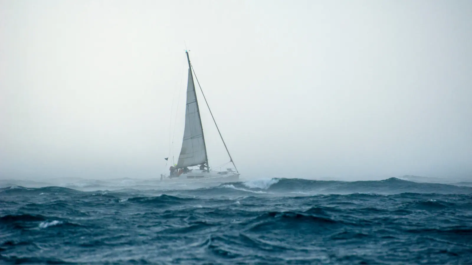
Wind, waves, currents, tides, visibility, thunderstorms, and changing conditions can all affect a trip. Just as importantly, those conditions may not be the same everywhere along your route or stay the same throughout the day.
That is why weather should be part of planning where you are going, not something you check once before leaving home.
Marine Weather Is More Than the Forecast
Conditions on the water are highly local.
It might be calm at your marina while stronger winds are developing 20 miles away. Protected water can feel completely different from an exposed stretch of coastline. Conditions at an inlet can change depending on the interaction between wind, waves, and current.
The boat matters too. Conditions that are manageable for one vessel may be uncomfortable or unsafe for another depending on its size, hull design, loading, and how it is being operated.
Instead of simply asking, “Is the weather going to be nice?” it is more useful to think about what conditions you may encounter throughout the entire trip.
What Should You Actually Look At?
There is a lot of weather information available to boaters, but a few things are particularly worth watching.
Wind
Wind affects wave conditions, boat handling, and comfort. A change in wind speed or direction can make the same stretch of water feel completely different.
Direction matters because wind interacts with the water around it. Wind opposing a current, for example, can contribute to steeper and more uncomfortable waves.
Pay attention to what the wind is doing now, but also look at how it is expected to change during the hours you plan to be out.
Waves
Wave height is useful, but it does not tell the whole story.
Wave period, direction, wind, currents, water depth, and the size and type of your boat can all influence how those waves actually affect you.
Shorter-period waves can be particularly uncomfortable because the waves arrive closer together. Conditions can also become more challenging where waves interact with opposing currents or shallow water.
Think of wave height and period as useful pieces of information, not a complete description of what the ride will feel like.
Currents
Currents deserve attention too, especially if you boat in coastal areas, rivers, inlets, passes, or other places where moving water can be significant.
Current can affect your speed over ground, fuel use, boat handling, and the conditions you encounter when it interacts with wind and waves.
If your route passes through an area known for strong currents, include current conditions in your trip planning.
Tides and Water Levels
Tides are the periodic rise and fall of water levels. Tidal currents are the horizontal movement of water associated with those changing tides.
Depending on where you boat, changes in water level and tidal currents can affect navigation, docking, anchoring, and passage through shallow or constricted areas.
For some boaters, tides barely factor into a normal day. For others, they can influence when and where a trip is possible.
Rain and Thunderstorms
Rain is one thing. Thunderstorms are another.
Thunderstorms can bring sudden wind shifts, strong gusts, lightning, heavy rain, and rapidly changing wave conditions.
If thunderstorms are forecast along your route, take them seriously. The National Weather Service recommends that boaters head for port or safe shelter when thunderstorms threaten rather than trying to ride them out on the water.
Before you leave, check the latest marine forecast along with any watches, warnings, or advisories for your area.
Visibility
Fog is not simply an inconvenience.
Reduced visibility can make navigation and collision avoidance much more difficult, even on water you know well.
It is another reason to consider the entire picture instead of relying on temperature and precipitation alone.
Conditions Along Your Entire Route
This might be one of the most important habits to develop.
Don’t just check the weather at the dock.
If you are traveling any meaningful distance, look at conditions along your route and near your destination too. A forecast at your departure point may not represent what you encounter 10, 20, or 30 miles away.
And look ahead in time.
The conditions you leave in at 9 a.m. may be very different from what you encounter on the way home at 3 p.m.
This Is Why Weather Belongs on the Map
Weather and navigation are connected.
If conditions vary from one location to another, it makes sense to look at weather in the same place you are already planning your route.
That is part of the idea behind Argo’s marine weather features.
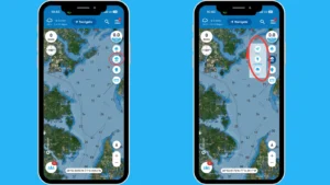
Current weather and temperature are available directly from the main Argo map. You can also move around the map to check weather information in other locations.
That can be useful when the weather at your starting point does not tell you much about what is forecast farther along your trip.
Maybe it is calm at the marina, but you are heading down the coast. Looking at weather geographically can give you more context about the conditions forecast along your route and near your destination.
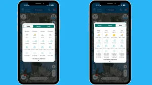
For Argo Premium users, tapping the weather opens an extended 7-day marine forecast with daily and hourly information, including weather, wind, wave height and period, and tides.
Argo is not making the go or no-go decision for you. Weather forecasts are forecasts, and every boat, route, and situation is different.
The goal is to give you useful information alongside the navigation tools you are already using so you can make a more informed decision.
See Weather Developing Around Your Route
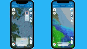
Argo also includes map-based weather overlays that can provide more context about what is happening beyond your current location.
Rain and lightning overlays with a one-hour forecast can help you see weather developing around your route rather than looking only at conditions at a single point.
Argo’s wind overlay gives you another way to look at conditions across a wider area. Forecast controls allow you to look ahead up to 72 hours, and you can long press on the map to view wind information for a specific location.
That can be useful when planning a longer trip.
The wind at your starting point may look manageable while stronger conditions are forecast farther along the route. Looking at the map gives you geographic context that can be difficult to get from a single weather reading.
Again, it does not tell you whether you should make the trip. It gives you another piece of information to consider while planning it.
Boaters Have Been Watching the Weather for a Long Time
Checking marine weather from your phone feels modern. Trying to warn boaters about approaching storms definitely is not.
In 1859, the Royal Charter Gale struck the British Isles. One of the ships lost in the storm was the Royal Charter, where around 460 people died.
The disaster inspired Vice-Admiral Robert FitzRoy, who had already been collecting weather observations around the British coast, to develop a national storm-warning system.
In February 1861, the first storm warning was issued.
There were obviously no smartphones or weather apps. Instead, coastal stations used combinations of cones and drums to visually warn mariners about expected dangerous winds.
More than 160 years later, the technology looks completely different.
Instead of looking toward shore for a warning signal, boaters can access forecasts, marine warnings, radar, wind information, and other weather data from their phones and onboard electronics.
The basic reason for doing it has not changed much.
Conditions on the water matter, and knowing more about what may be ahead helps you plan.
Make Weather Part of Planning Your Route
You do not need to become a meteorologist every time you take the boat out.
You do need to look beyond the sun icon.
Before leaving, check the latest marine forecast and any watches, warnings, or advisories. Look at the wind and how it is expected to change. Consider waves, currents, tides, and visibility when they are relevant to where you boat.
Most importantly, think beyond the marina.
What are conditions forecast to be along your route? What about at your destination? What could they look like when it is time to head home?
Then continue paying attention while you are out. Forecasts are updated, conditions develop, and the plan you made that morning may need to change.
Argo puts weather information alongside the charts and navigation tools you are already using, helping make that check a more natural part of planning a day on the water.
Because knowing where you are going is only part of planning a boating trip.
Knowing what you may encounter along the way matters too.
Resources
National Weather Service Marine Forecast and Safe Boating Information
https://www.weather.gov/safety/safeboating-marine
National Weather Service Safe Boating Resources
https://www.weather.gov/safety/safeboating
National Weather Service Wave Information
https://www.weather.gov/mfl/waves
Met Office: Tragedy and Warnings, The Origins of the Shipping Forecast
https://www.metoffice.gov.uk/about-us/who-we-are/our-history/tragedy-and-warnings-the-origins-of-the-shipping-forecast