Earlier this summer, Transport Canada’s Whale Enforcement Unit reached out to Argo with an important question: did the app clearly show the active whale protection zones in southern British Columbia?
The question came from a real issue on the water. Some boaters had entered vessel-restricted or speed-restricted areas and said the zones were not visible in the charting software they were using.
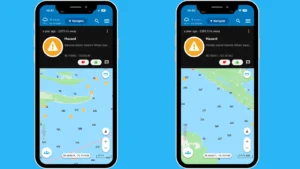
Argo had already marked the sanctuary areas with hazard pins, but that feedback made it clear that boaters needed something easier to interpret at a glance. In response, Argo updated the way these areas appear in the app.
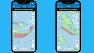
Now, the seasonal vessel-restricted sanctuary zones and speed-restricted zones are clearly displayed directly on the map. The zones are shaded so their boundaries are easier to recognize, users can tap them for more information, and alerts appear if a vessel enters one of the marked areas. Argo’s routing also avoids vessel-restricted sanctuary zones.
After reviewing the updated display, a Transport Canada Marine Safety Inspector confirmed that Argo’s information was up to date.
For boaters, that means a clearer view of where seasonal whale protections apply — and a better understanding of how to navigate responsibly in waters shared with endangered Southern Resident killer whales.
Why These Zones Matter
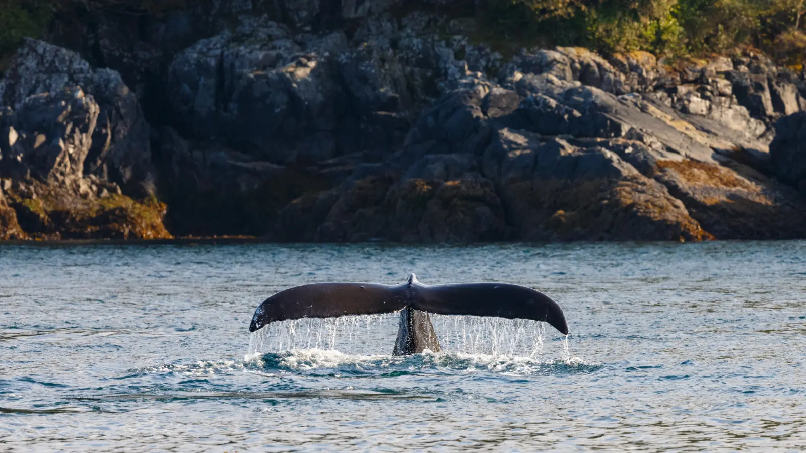
Southern Resident killer whales are one of the most closely watched and protected marine populations in the Pacific Northwest.
These whales face several serious challenges, including limited prey, contaminants and disturbance from vessels. Boat traffic can affect them in ways that are not always obvious from the surface. Engine noise can interfere with communication and echolocation, which whales rely on to navigate and find food. Vessel activity can also interrupt feeding, resting and travel.
That is why seasonal protections are in place in parts of southern British Columbia. The goal is to reduce disturbance in important whale habitat and give the animals more space.
For boaters, knowing where those protections begin and end is an important part of safe and responsible trip planning.
Where the Restricted Zones Are
The seasonal vessel-restricted sanctuary zones are located near Pender Island and Saturna Island. With limited exceptions, vessels are not allowed to enter these areas while the restrictions are active.
There are also speed-restricted zones near the mouth of the Nitinat River and Swiftsure Bank. In these areas, vessels are generally required to slow down in order to reduce underwater noise and disturbance.
These zones are active seasonally, so boaters should always review the current rules, dates and boundaries before heading out.
What Boaters Will See in Argo
The biggest change is that these whale protection zones are now much easier to recognize in the app.
Instead of relying only on pins or outside reference material, boaters can now see the restricted areas directly on the navigation map. The sanctuary zones are shaded to make the boundaries more obvious, and the speed-restricted areas are also clearly marked.
Users can tap a zone to read more about the restriction. If a vessel enters one of the displayed areas, Argo will show an alert. When calculating a route, the app will also avoid vessel-restricted sanctuary zones.
That kind of visual context matters. A list of coordinates may be accurate, but it is not always easy to interpret while planning a day on the water. Seeing the zones directly on the chart makes it much easier to understand where they are in relation to your route, your destination and your current position.
Argo does not replace official regulations, but it can make those restrictions much easier to see and understand while boating.
How to Mark a Whale Sighting in Argo
In addition to showing restricted zones, Argo also gives boaters a way to share whale sightings with others on the water.
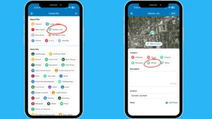
To mark a whale sighting in Argo:
- Open Argo.
- Tap the pin button on the right side of the screen.
- Under Report Pins, select Marine Life.
- Choose Whale.
- Add a description and an image.
- Tap Save.
If possible, include helpful details such as how many whales you saw, the direction they were moving and when the sighting occurred.
A whale report pin helps other Argo users know that whales were recently seen in the area. It is not a substitute for keeping a proper lookout, but it can help boaters stay aware and encourage extra caution nearby.
What to Do If You See a Whale
Seeing a whale from a boat can be exciting, but it is important to respond carefully.
Avoid turning toward the whale or trying to follow it for a closer look. Keep in mind that there may be more whales nearby, even if you only see one at first. Whales can also surface unexpectedly or change direction without warning.
Before leaving the dock, boaters should know the current approach-distance rules and any other wildlife regulations that apply in the area. Different rules may apply depending on location, species, and time of year.
If you see a whale, the safest approach is to stay alert, reduce speed when appropriate, keep your distance and allow the animal to move freely without interference.
A Helpful Tool, Not a Replacement for the Rules
One of the clearest takeaways from Transport Canada’s outreach is that visibility matters.
If a boater cannot easily see a restricted area in the tools they are using, it becomes much easier to make a mistake. By making whale protection zones more visible on the chart, Argo helps close that gap.
At the same time, every captain is still responsible for understanding and following current regulations. Boaters should always check official guidance before heading out, especially since seasonal dates, boundaries, and restrictions can change.
Argo’s role is to make important information easier to see while people are planning and navigating.
Better Awareness on the Water
The update to these whale protection zones is a practical one, but it supports a much bigger goal.
Boaters share these waters with a vulnerable whale population, and small decisions on the water can make a difference. Clearer map displays, better alerts, and shared whale sightings all help boaters stay more aware of their surroundings.
For anyone boating in southern British Columbia this season, that added awareness can help make for a safer trip, for both people and whales.